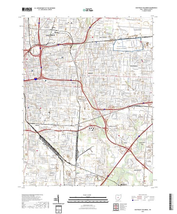
2023 Map of Southeast Columbus
USGS Topo · Published 2023About this map
The Columbus metropolitan area and its eastern suburbs are shown here at a moment of dense urban development and complex infrastructure. The landscape is defined by the convergence of major waterways like Alum Creek and Big Walnut Creek, which are surrounded by a mix of heavy industry in areas like Steelton and academic centers including Capital University and Ohio Dominican University. In the northeast corner, the sprawling grounds of the John Glenn Columbus International Airport dominate the local geography, situated adjacent to the residential street grids of Whitehall and East Columbus.
Find a feature on this map
62 named features on this map. Tap any name to fly to it.
Don’t see what you’re looking for? This feature index may not catch every label — zoom into the map to look around manually.
Map Details
Editions of this 2023 Southeast Columbus Map
This is the sole edition of this map. No revisions or reprints were ever made.
Other maps of this area

1901 · Dublin
USGS Topo · 1:62,500

1902 · Westerville
USGS Topo · 1:62,500

1903 · Dublin
USGS Topo · 1:62,500

1904 · Westerville
USGS Topo · 1:62,500

1923 · West Columbus
USGS Topo · 1:62,500

1925 · East Columbus
USGS Topo · 1:62,500

1925 · West Columbus
USGS Topo · 1:62,500

1943 · East Columbus
USGS Topo · 1:62,500

1947 · Columbus
USGS Topo · 1:250,000

1950 · Marion
USGS Topo · 1:250,000