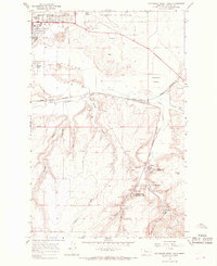
1965 Map of Southeast Great Falls
USGS Topo · Published 1968About this map
Coal mining and military aviation define the landscape south of Great Falls in the mid-1960s. The southern portion of the map is dominated by the industrial legacy of the Sand Coulee coal field, where clusters of Mines and Air Shafts surround the small mining settlements of Tracy, Centerville, and Number Seven. This region, carved by Sand Coulee and Walker Creek, shows a concentration of resource extraction including the Spring Mines and various Gravel Pits adjacent to the Great Northern railway line. To the north, the burgeoning presence of Malmstrom Air Force Base and residential parks like Russell Park signal the expansion of the urban center onto Gibson Flats. The presence of the Sand Coulee Cem and the (Lavin Spur) rail line provides specific points of interest for genealogists and industrial historians tracing the migration patterns and economic development of Cascade County.
Find a feature on this map
39 named features on this map. Tap any name to fly to it.
Don’t see what you’re looking for? This feature index may not catch every label — zoom into the map to look around manually.
Map Details
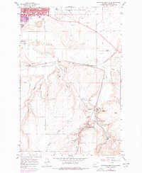
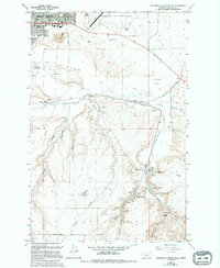
Editions of this 1965 Southeast Great Falls Map
3 editions found
Other maps of this area

1886 · Great Falls
USGS Topo · 1:250,000

1948 · Portage
USGS Topo · 1:62,500

1949 · Portage
USGS Topo · 1:62,500

1949 · Great Falls
USGS Topo · 1:62,500

1951 · Great Falls
USGS Topo · 1:62,500

1954 · Great Falls
USGS Topo · 1:250,000

1955 · Stockett
USGS Topo · 1:62,500

1955 · Gore Hill
USGS Topo · 1:62,500

1957 · Great Falls
USGS Topo · 1:250,000

1965 · Eden
USGS Topo · 1:24,000