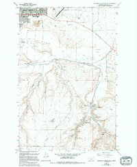
1965 Map of Southeast Great Falls
USGS Topo · Published 1994About this map
Malmstrom Air Force Base occupies the northern plateau of this landscape, overlooking the city of Great Falls and the sprawling residential and industrial outskirts. Moving south, the terrain shifts from the level expanses of Gibson Flats and Johnson Flats into a complex network of coulees that defined the area's early extractive economy. The settlements of Sand Coulee, Tracy, and Centerville are clustered along the winding Sand Coulee Creek, revealing a historical density of mining activity. Numerous Mines, Air Shafts, and the specific Number Seven Mine indicate an intensive period of coal or mineral recovery. Social and civic life is anchored by several landmarks, including the Sand Coulee Cem, Mountain View School, and various parks like Russell Park and Dudley Anderson Park, providing a detailed view of community development south of the Missouri River during the mid-20th century.
Find a feature on this map
42 named features on this map. Tap any name to fly to it.
Don’t see what you’re looking for? This feature index may not catch every label — zoom into the map to look around manually.
Map Details
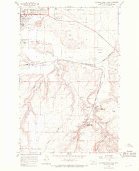
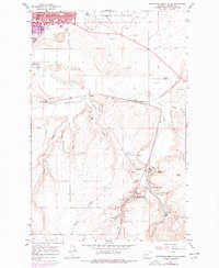
Editions of this 1965 Southeast Great Falls Map
3 editions found
Other maps of this area

1886 · Great Falls
USGS Topo · 1:250,000

1948 · Portage
USGS Topo · 1:62,500

1949 · Portage
USGS Topo · 1:62,500

1949 · Great Falls
USGS Topo · 1:62,500

1951 · Great Falls
USGS Topo · 1:62,500

1954 · Great Falls
USGS Topo · 1:250,000

1955 · Stockett
USGS Topo · 1:62,500

1955 · Gore Hill
USGS Topo · 1:62,500

1957 · Great Falls
USGS Topo · 1:250,000

1965 · Eden
USGS Topo · 1:24,000