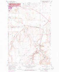
1965 Map of Southeast Great Falls
USGS Topo · Published 1977About this map
Great Falls extends its southeastern edge into a landscape defined by industrial extraction and military presence in the mid-1960s. The northern reaches are dominated by Malmstrom Air Force Base and suburban growth near Pinski Park, while the southern terrain shifts toward the coal-mining history of the Smith River drainage. Significant mining activity is documented through numerous Mines and Air Shafts surrounding Sand Coulee and Centerville.
Find a feature on this map
37 named features on this map. Tap any name to fly to it.
Don’t see what you’re looking for? This feature index may not catch every label — zoom into the map to look around manually.
Map Details
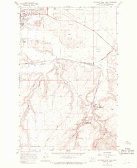
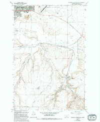
Editions of this 1965 Southeast Great Falls Map
3 editions found
Other maps of this area

1886 · Great Falls
USGS Topo · 1:250,000

1948 · Portage
USGS Topo · 1:62,500

1949 · Portage
USGS Topo · 1:62,500

1949 · Great Falls
USGS Topo · 1:62,500

1951 · Great Falls
USGS Topo · 1:62,500

1954 · Great Falls
USGS Topo · 1:250,000

1955 · Stockett
USGS Topo · 1:62,500

1955 · Gore Hill
USGS Topo · 1:62,500

1957 · Great Falls
USGS Topo · 1:250,000

1965 · Eden
USGS Topo · 1:24,000