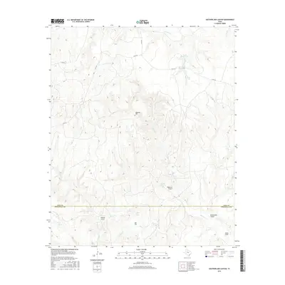
2016 Map of Southerland Canyon
USGS Topo · Published 2016About this map
Haystack Mtn rises as a central landmark in this portion of West Texas, where the landscape is defined by the complex drainage systems of the Croton Creek basin. The terrain is deeply incised by erosion, creating a network of landforms such as Southerland Canyon, Panther Canyon, and the appropriately named Bitter Gulch. The presence of Haystack Brine Springs and Salt Flat Brine Spring indicates the mineral-heavy hydrology characteristic of the Permian Basin, where saline water emerges from the earth to feed into Salt Croton Creek.
Find a feature on this map
24 named features on this map. Tap any name to fly to it.
Don’t see what you’re looking for? This feature index may not catch every label — zoom into the map to look around manually.
Map Details
Editions of this 2016 Southerland Canyon Map
This is the sole edition of this map. No revisions or reprints were ever made.
Other maps of this area

1954 · Lubbock
USGS Topo · 1:250,000

1958 · Pursley House
USGS Topo · 1:24,000

1958 · Southerland Canyon
USGS Topo · 1:24,000

1958 · Seven Diamond L Canyon
USGS Topo · 1:24,000

1958 · Lovers Resort
USGS Topo · 1:24,000

1958 · Jayton
USGS Topo · 1:24,000

1959 · Bob Creek
USGS Topo · 1:24,000

1968 · Pitchfork Ranch
USGS Topo · 1:24,000

1968 · Guthrie
USGS Topo · 1:24,000

1968 · Pitchfork Flats
USGS Topo · 1:24,000