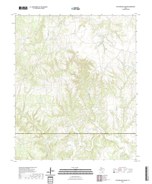
2022 Map of Southerland Canyon
USGS Topo · Published 2022About this map
The King and Stonewall County line divides this rugged section of West Texas, where the landscape is defined by the complex drainage systems of the Brazos River basin. Distinctive geological features like the Haystack Brine Springs and Salt Flat Brine Spring highlight the region's unique mineral-heavy hydrology, concentrated around the banks of Salt Croton Creek. To the north, the prominent Haystack Mountain overlooks a series of deep incisions in the earth, including Haystack Canyon and the map's namesake, Southerland Canyon. Ranching infrastructure is visible throughout, marked by water management features such as the Matthew Hooks Reservoir and Bar S Ranch Lake, which sustain life in this arid terrain. The map records the network of rural routes like Co RD 448 that navigate the ridges above Bitter Gulch and Panther Canyon.
Find a feature on this map
25 named features on this map. Tap any name to fly to it.
Don’t see what you’re looking for? This feature index may not catch every label — zoom into the map to look around manually.
Map Details
Editions of this 2022 Southerland Canyon Map
This is the sole edition of this map. No revisions or reprints were ever made.
Other maps of this area

1954 · Lubbock
USGS Topo · 1:250,000

1958 · Pursley House
USGS Topo · 1:24,000

1958 · Southerland Canyon
USGS Topo · 1:24,000

1958 · Seven Diamond L Canyon
USGS Topo · 1:24,000

1958 · Lovers Resort
USGS Topo · 1:24,000

1958 · Jayton
USGS Topo · 1:24,000

1959 · Bob Creek
USGS Topo · 1:24,000

1968 · Pitchfork Ranch
USGS Topo · 1:24,000

1968 · Guthrie
USGS Topo · 1:24,000

1968 · Pitchfork Flats
USGS Topo · 1:24,000