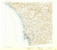
1904 Map of Southern California Sheet No. 2
USGS Topo · Published 1924About this map
Coastal Southern California at the turn of the century presents a landscape of burgeoning coastal towns and interior tribal lands. The Atchison Topeka and Santa Fe RR traces the shoreline from San Juan Capistrano down through Oceanside and Carlsbad, anchoring a transport network that fueled early regional growth. Inland, the map documents a series of reservations, including the Pala Indian Res. and Santa Ysabel Indian Res., alongside established agricultural centers like Escondido and Fallbrook. Dramatic elevation shifts are noted from the Pacific Ocean to the heights of Cuyamaca Peak. Early hydraulic infrastructure is evident through the presence of the Sweetwater Reservoir and Upper Otay Reservoir, supporting the needs of a growing population near San Diego and the international boundary at Tia Juana.
Find a feature on this map
63 named features on this map. Tap any name to fly to it.
Don’t see what you’re looking for? This feature index may not catch every label — zoom into the map to look around manually.
Map Details
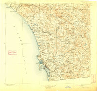
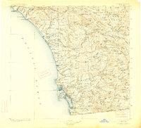
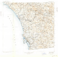
Editions of this 1904 Southern California Sheet No. 2 Map
5 editions found

Other maps of this area

1893 · El Cajon
USGS Topo · 1:62,500

1893 · Oceanside
USGS Topo · 1:62,500

1893 · Escondido
USGS Topo · 1:62,500

1896 · Santa Ana
USGS Topo · 1:62,500

1898 · Oceanside
USGS Topo · 1:62,500

1901 · Southern California Sheet No. 1
USGS Topo · 1:250,000

1901 · Elcajon
USGS Topo · 1:62,500

1901 · Santa Ana
USGS Topo · 1:62,500

1901 · San Jacinto
USGS Topo · 1:125,000

1901 · Elsinore
USGS Topo · 1:125,000