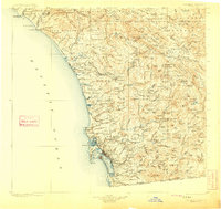
1904 Map of Southern California Sheet No. 2
USGS Topo · Published 1909About this map
San Diego is the focal point of this coastal landscape at the beginning of the twentieth century, anchored by the Pueblo Lands of San Diego and the bustling port area. The map illustrates a region transitioning from grand rancho estates like Santa Margarita y Las Flores and Monserate to established coastal towns connected by the Southern California RR. Moving north, the rail line links settlements such as Oceanside, Carlsbad, and Encinitas, following the shoreline past landmarks like San Mateo Pt. toward San Juan Capistrano.
Find a feature on this map
227 named features on this map. Tap any name to fly to it.
Don’t see what you’re looking for? This feature index may not catch every label — zoom into the map to look around manually.
Map Details
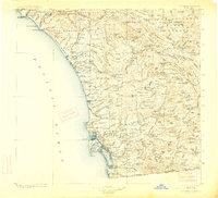
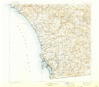
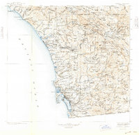
Editions of this 1904 Southern California Sheet No. 2 Map
5 editions found

Other maps of this area

1893 · El Cajon
USGS Topo · 1:62,500

1893 · Oceanside
USGS Topo · 1:62,500

1893 · Escondido
USGS Topo · 1:62,500

1896 · Santa Ana
USGS Topo · 1:62,500

1898 · Oceanside
USGS Topo · 1:62,500

1901 · Southern California Sheet No. 1
USGS Topo · 1:250,000

1901 · Elcajon
USGS Topo · 1:62,500

1901 · Santa Ana
USGS Topo · 1:62,500

1901 · San Jacinto
USGS Topo · 1:125,000

1901 · Elsinore
USGS Topo · 1:125,000