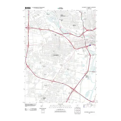
2010 Map of Southwest Columbus
USGS Topo · Published 2010About this map
Columbus and its southern suburbs are depicted here during a period of significant urban density, showing the complex network of neighborhoods that define the state capital. The landscape is notably marked by an extensive concentration of historic burial grounds and institutional sites, including the Old Insane and Penal Cemetery, Feebleminded Cemetery, and the Camp Chase Cemetery near the city's heart. These landmarks, along with others like the Franklinton Cemetery, serve as poignant reminders of the city's 19th-century social history and early settlement patterns.
Find a feature on this map
65 named features on this map. Tap any name to fly to it.
Don’t see what you’re looking for? This feature index may not catch every label — zoom into the map to look around manually.
Map Details
Editions of this 2010 Southwest Columbus Map
This is the sole edition of this map. No revisions or reprints were ever made.
Other maps of this area

1901 · Dublin
USGS Topo · 1:62,500

1902 · Westerville
USGS Topo · 1:62,500

1903 · Dublin
USGS Topo · 1:62,500

1904 · Westerville
USGS Topo · 1:62,500

1923 · West Columbus
USGS Topo · 1:62,500

1925 · East Columbus
USGS Topo · 1:62,500

1925 · West Columbus
USGS Topo · 1:62,500

1943 · East Columbus
USGS Topo · 1:62,500

1947 · Columbus
USGS Topo · 1:250,000

1950 · Marion
USGS Topo · 1:250,000