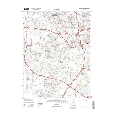
2013 Map of Southwest Columbus
USGS Topo · Published 2013About this map
The Scioto River anchors this detailed survey of the southwestern reaches of the Ohio capital, showing the dense intersection of urban growth and historical institutional sites. The map documents a significant concentration of specialized cemeteries and facilities, including the Old Insane and Penal Cem, Feebleminded Cem, and the historically significant Camp Chase Cem. These sites reflect the area's long-standing role in housing state institutions and military history.
Find a feature on this map
67 named features on this map. Tap any name to fly to it.
Don’t see what you’re looking for? This feature index may not catch every label — zoom into the map to look around manually.
Map Details
Editions of this 2013 Southwest Columbus Map
This is the sole edition of this map. No revisions or reprints were ever made.
Other maps of this area

1901 · Dublin
USGS Topo · 1:62,500

1902 · Westerville
USGS Topo · 1:62,500

1903 · Dublin
USGS Topo · 1:62,500

1904 · Westerville
USGS Topo · 1:62,500

1923 · West Columbus
USGS Topo · 1:62,500

1925 · East Columbus
USGS Topo · 1:62,500

1925 · West Columbus
USGS Topo · 1:62,500

1943 · East Columbus
USGS Topo · 1:62,500

1947 · Columbus
USGS Topo · 1:250,000

1950 · Marion
USGS Topo · 1:250,000