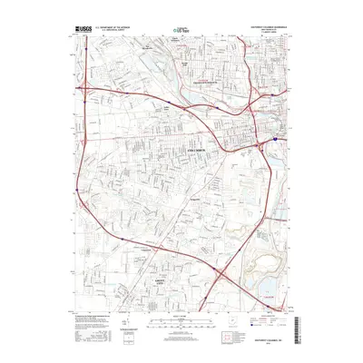
2016 Map of Southwest Columbus
USGS Topo · Published 2016About this map
Greenlawn Cem and the vast complex of the Mount Calvary Cem anchor the central landscape of this 2016 survey, reflecting the deep interment history of southwestern Columbus. The map reveals a fascinating, sobering look at the city's institutional history through the preservation of cemetery labels such as the Old Insane and Penal Cem, Insane Cem, and the Feebleminded Cem. These sites, alongside the Franklinton Cem, provide critical data points for genealogists and local historians studying the social infrastructure of the state capital.
Find a feature on this map
42 named features on this map. Tap any name to fly to it.
Don’t see what you’re looking for? This feature index may not catch every label — zoom into the map to look around manually.
Map Details
Editions of this 2016 Southwest Columbus Map
This is the sole edition of this map. No revisions or reprints were ever made.
Other maps of this area

1901 · Dublin
USGS Topo · 1:62,500

1902 · Westerville
USGS Topo · 1:62,500

1903 · Dublin
USGS Topo · 1:62,500

1904 · Westerville
USGS Topo · 1:62,500

1923 · West Columbus
USGS Topo · 1:62,500

1925 · East Columbus
USGS Topo · 1:62,500

1925 · West Columbus
USGS Topo · 1:62,500

1943 · East Columbus
USGS Topo · 1:62,500

1947 · Columbus
USGS Topo · 1:250,000

1950 · Marion
USGS Topo · 1:250,000