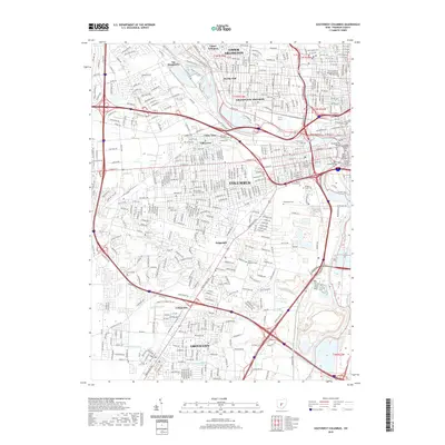
2019 Map of Southwest Columbus
USGS Topo · Published 2019About this map
Columbus and its southern suburbs appear in high detail at the junction of the Scioto River and Olentangy River. The urban core is anchored by civic institutions like the Supreme Court of Ohio and the Franklin County Courthouse, with connectivity established by historic crossings including the Broad Street Bridge and Main Street Bridge. Beyond the city center, the landscape is defined by its institutional history and commemorative spaces, ranging from the sprawling Greenlawn Cem and Mount Calvary Cem to the unique site of the Camp Chase Confederate Cem. The map illustrates the growth of established communities like Grove City and Upper Arlington, while smaller settlements such as San Margherita and Briggsdale occupy the space between major transit corridors like the Harrisburg Pike. Several institutional burial grounds, including the Old Insane and Penal Cem and Feebleminded Cem, reflect the complex social history of the state capital's fringe during the 20th century.
Find a feature on this map
44 named features on this map. Tap any name to fly to it.
Don’t see what you’re looking for? This feature index may not catch every label — zoom into the map to look around manually.
Map Details
Editions of this 2019 Southwest Columbus Map
This is the sole edition of this map. No revisions or reprints were ever made.
Other maps of this area

1901 · Dublin
USGS Topo · 1:62,500

1902 · Westerville
USGS Topo · 1:62,500

1903 · Dublin
USGS Topo · 1:62,500

1904 · Westerville
USGS Topo · 1:62,500

1923 · West Columbus
USGS Topo · 1:62,500

1925 · East Columbus
USGS Topo · 1:62,500

1925 · West Columbus
USGS Topo · 1:62,500

1943 · East Columbus
USGS Topo · 1:62,500

1947 · Columbus
USGS Topo · 1:250,000

1950 · Marion
USGS Topo · 1:250,000