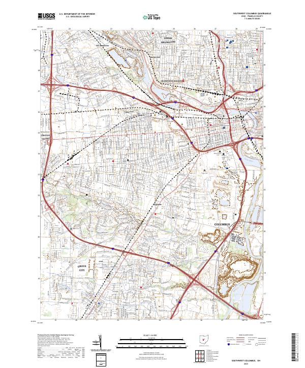
2023 Map of Southwest Columbus
USGS Topo · Published 2023About this map
The Scioto River and Olentangy River converge at the heart of this urban corridor, defining the geographic center of Columbus and its western suburbs. The map captures a landscape dense with institutional history, most notably the cluster of cemeteries and asylum grounds including the Green Lawn Cem and the State New Insane Cem. The presence of the Camp Chase Confederate Cem near W Broad St provides a significant touchstone for Civil War researchers, marking the site of the former Union Army training camp and prisoner-of-war facility.
Find a feature on this map
39 named features on this map. Tap any name to fly to it.
Don’t see what you’re looking for? This feature index may not catch every label — zoom into the map to look around manually.
Map Details
Editions of this 2023 Southwest Columbus Map
This is the sole edition of this map. No revisions or reprints were ever made.
Other maps of this area

1901 · Dublin
USGS Topo · 1:62,500

1902 · Westerville
USGS Topo · 1:62,500

1903 · Dublin
USGS Topo · 1:62,500

1904 · Westerville
USGS Topo · 1:62,500

1923 · West Columbus
USGS Topo · 1:62,500

1925 · East Columbus
USGS Topo · 1:62,500

1925 · West Columbus
USGS Topo · 1:62,500

1943 · East Columbus
USGS Topo · 1:62,500

1947 · Columbus
USGS Topo · 1:250,000

1950 · Marion
USGS Topo · 1:250,000