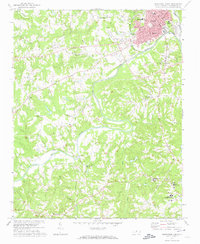
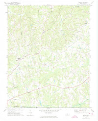
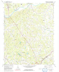
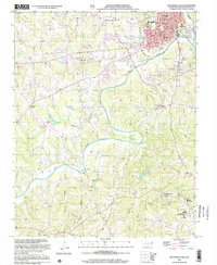
1971 Map of Southwest Eden
USGS Topo · Published 1974This historical map portrays the area of Southwest Eden in 1971, primarily covering Rockingham County. Featuring a scale of 1:24000, this map provides a highly detailed snapshot of the terrain, roads, buildings, counties, and historical landmarks in the Southwest Eden region at the time. Published in 1974, it is one of 2 known editions of this map due to revisions or reprints.
Find a feature on this map
40 named features on this map. Tap any name to fly to it.
Don’t see what you’re looking for? This feature index may not catch every label — zoom into the map to look around manually.
Map Details
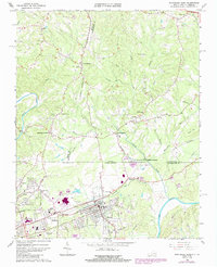
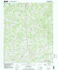
Editions of this 1971 Southwest Eden Map
2 editions found
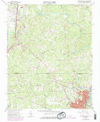
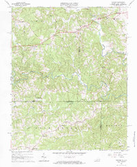
Historical Maps of Riverbend Through Time
14 maps found
1965 Northeast Eden
Rockingham County, NC
1965 Northwest Eden
Rockingham County, NC
1967 Spencer
Rockingham County, NC
1971 Bethany
Rockingham County, NC
1971 Ellisboro
Rockingham County, NC
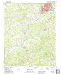
1971 Southeast Eden
Rockingham County, NC
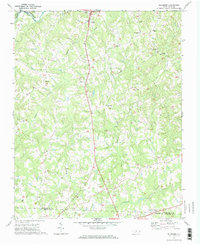
1971 Southwest Eden
Rockingham County, NC

1972 Williamsburg
Rockingham County, NC
1977 Southeast Eden
Rockingham County, NC

1997 Bethany
Rockingham County, NC
1997 Ellisboro
Rockingham County, NC
1997 Northeast Eden
Rockingham County, NC
1997 Williamsburg
Rockingham County, NC
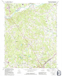
2002 Southwest Eden
Rockingham County, NC