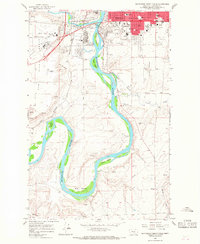
1965 Map of Southwest Great Falls
USGS Topo · Published 1968About this map
The Missouri River carves a dramatic path through this mid-1960s survey of south-central Montana, where industrial infrastructure and academic institutions meet the river's winding oxbows. The southern edge of Great Falls is captured in transition, showing the College of Great Falls and the sprawling campus of the Great Falls International Airport, alongside the Air National Guard base. The river itself is punctuated by several large islands, including Park Island, Taylor Island, and Fisher Island, which sit just upstream from the notable Big Bend.
Find a feature on this map
46 named features on this map. Tap any name to fly to it.
Don’t see what you’re looking for? This feature index may not catch every label — zoom into the map to look around manually.
Map Details
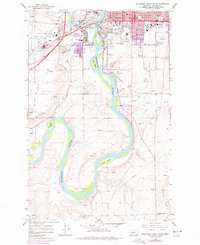
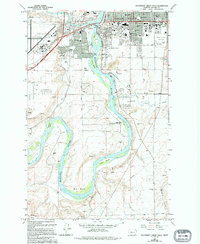
Editions of this 1965 Southwest Great Falls Map
3 editions found
Other maps of this area

1886 · Great Falls
USGS Topo · 1:250,000

1948 · Portage
USGS Topo · 1:62,500

1949 · Portage
USGS Topo · 1:62,500

1949 · Great Falls
USGS Topo · 1:62,500

1951 · Great Falls
USGS Topo · 1:62,500

1954 · Great Falls
USGS Topo · 1:250,000

1955 · Stockett
USGS Topo · 1:62,500

1955 · Gore Hill
USGS Topo · 1:62,500

1957 · Great Falls
USGS Topo · 1:250,000
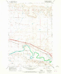
1965 · Manchester
USGS Topo · 1:24,000