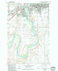
1965 Map of Southwest Great Falls
USGS Topo · Published 1994About this map
The Missouri River carves a winding path through this 1965 survey, defining the industrial and residential growth of southwest Great Falls. The landscape is a study in mid-century urban expansion, where established institutions like the College of Great Falls and Deaconess Hospital sit adjacent to burgeoning neighborhoods and several Mobile Home Park sites. The river itself is anchored by significant landforms and recreational points, including the massive Big Bend, Fisher Island, and the White Bear State Fishing Access Area.
Find a feature on this map
52 named features on this map. Tap any name to fly to it.
Don’t see what you’re looking for? This feature index may not catch every label — zoom into the map to look around manually.
Map Details
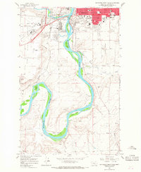
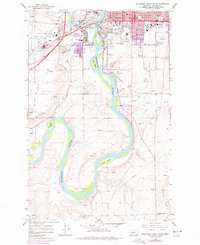
Editions of this 1965 Southwest Great Falls Map
3 editions found
Other maps of this area

1886 · Great Falls
USGS Topo · 1:250,000

1948 · Portage
USGS Topo · 1:62,500

1949 · Portage
USGS Topo · 1:62,500

1949 · Great Falls
USGS Topo · 1:62,500

1951 · Great Falls
USGS Topo · 1:62,500

1954 · Great Falls
USGS Topo · 1:250,000

1955 · Stockett
USGS Topo · 1:62,500

1955 · Gore Hill
USGS Topo · 1:62,500

1957 · Great Falls
USGS Topo · 1:250,000
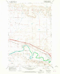
1965 · Manchester
USGS Topo · 1:24,000