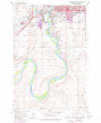
1965 Map of Southwest Great Falls
USGS Topo · Published 1977About this map
The Missouri River carves a winding path through this landscape, creating a series of prominent features like Big Bend and Fisher Island. To the north, the growing urban footprint of Great Falls is evident, centered around the College of Great Falls and several health facilities including Deaconess Hospital and the County Hospital. The area reflects a mid-century shift in transportation and industry, with the Burlington Northern line active while an Old RR Grade hints at earlier rail alignments. Aviation history is prominent on the Sun River Bench, where Great Falls International Airport, Gore Field, and an Air National Guard base overlook the river valley. Further south, the terrain becomes more rural, punctuated by scattered settlements like Goodwin and numerous Gravel Pits that suggest the region's extraction-based economy.
Find a feature on this map
58 named features on this map. Tap any name to fly to it.
Don’t see what you’re looking for? This feature index may not catch every label — zoom into the map to look around manually.
Map Details
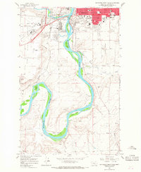
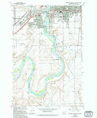
Editions of this 1965 Southwest Great Falls Map
3 editions found
Other maps of this area

1886 · Great Falls
USGS Topo · 1:250,000

1948 · Portage
USGS Topo · 1:62,500

1949 · Portage
USGS Topo · 1:62,500

1949 · Great Falls
USGS Topo · 1:62,500

1951 · Great Falls
USGS Topo · 1:62,500

1954 · Great Falls
USGS Topo · 1:250,000

1955 · Stockett
USGS Topo · 1:62,500

1955 · Gore Hill
USGS Topo · 1:62,500

1957 · Great Falls
USGS Topo · 1:250,000
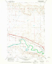
1965 · Manchester
USGS Topo · 1:24,000