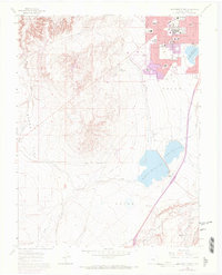
1961 Map of Southwest Pueblo
USGS Topo · Published 1972About this map
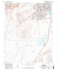
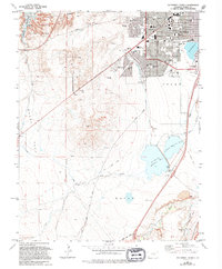
The southwest edge of Pueblo is defined here by a transition from organized urban development to the rolling topography of the Arkansas River basin. The city's mid-century expansion is evident through a concentration of educational and social landmarks, including the State Fairground and numerous community facilities such as South High Sch and Holy Family Ch. These residential blocks give way to more utilitarian landscapes to the south, where the industrial legacy of the region appears through Quarries and the hydraulic engineering of the Minnequa Canal.
Find a feature on this map
33 named features on this map. Tap any name to fly to it.
Don’t see what you’re looking for? This feature index may not catch every label — zoom into the map to look around manually.
Map Details
Editions of this 1961 Southwest Pueblo Map
7 editions found
Other maps of this area

1891 · Pueblo
USGS Topo · 1:125,000

1894 · Pueblo
USGS Topo · 1:125,000

1896 · Pueblo
USGS Topo · 1:125,000

1897 · Pueblo
USGS Topo · 1:125,000

1954 · Pueblo
USGS Topo · 1:250,000

1957 · Pueblo
USGS Topo · 1:250,000

1958 · Pueblo
USGS Topo · 1:250,000

1960 · Southeast Pueblo
USGS Topo · 1:24,000

1961 · Northwest Pueblo
USGS Topo · 1:24,000

1961 · Southwest Pueblo
USGS Topo · 1:24,000