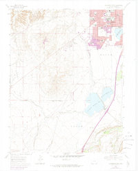
1961 Map of Southwest Pueblo
USGS Topo · Published 1974About this map
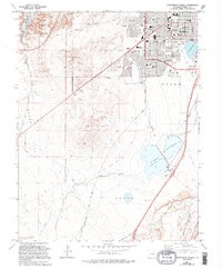
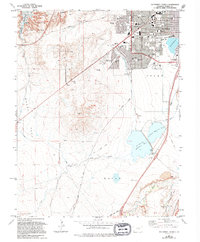
The southern residential expansion of Pueblo is visible here during a period of significant post-war growth. The urban grid extends into the Nolan area, featuring numerous educational institutions such as South High Sch, Corwin Jr High Sch, and Pitts Jr High Sch. This development is bounded by major landmarks like the State Fairgrounds and the sprawling Mountain View Cemetery, illustrating the city's mid-century civic infrastructure.
Find a feature on this map
45 named features on this map. Tap any name to fly to it.
Don’t see what you’re looking for? This feature index may not catch every label — zoom into the map to look around manually.
Map Details
Editions of this 1961 Southwest Pueblo Map
7 editions found
Other maps of this area

1891 · Pueblo
USGS Topo · 1:125,000

1894 · Pueblo
USGS Topo · 1:125,000

1896 · Pueblo
USGS Topo · 1:125,000

1897 · Pueblo
USGS Topo · 1:125,000

1954 · Pueblo
USGS Topo · 1:250,000

1957 · Pueblo
USGS Topo · 1:250,000

1958 · Pueblo
USGS Topo · 1:250,000

1960 · Southeast Pueblo
USGS Topo · 1:24,000

1961 · Northwest Pueblo
USGS Topo · 1:24,000

1961 · Southwest Pueblo
USGS Topo · 1:24,000