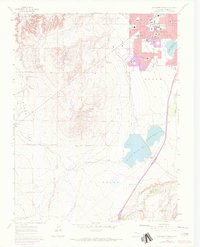
1961 Map of Southwest Pueblo
USGS Topo · Published 1972About this map
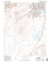
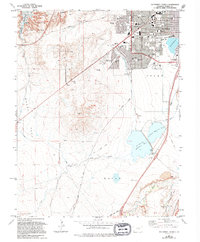
The Arkansas River valley defines the northern reach of this 1961 survey, where the burgeoning residential districts of Pueblo meet the high plains. The urban expansion of the era is evident in the planned streets of Beulah Heights and the concentration of civic institutions like the State Fairgrounds, South High Sch, and Mountain View Cemetery. This document records a period of transition as suburbia pushes south toward the wide Flats, yet remains bounded by major industrial and water infrastructure.
Find a feature on this map
41 named features on this map. Tap any name to fly to it.
Don’t see what you’re looking for? This feature index may not catch every label — zoom into the map to look around manually.
Map Details
Editions of this 1961 Southwest Pueblo Map
7 editions found
Other maps of this area

1891 · Pueblo
USGS Topo · 1:125,000

1894 · Pueblo
USGS Topo · 1:125,000

1896 · Pueblo
USGS Topo · 1:125,000

1897 · Pueblo
USGS Topo · 1:125,000

1954 · Pueblo
USGS Topo · 1:250,000

1957 · Pueblo
USGS Topo · 1:250,000

1958 · Pueblo
USGS Topo · 1:250,000

1960 · Southeast Pueblo
USGS Topo · 1:24,000

1961 · Northwest Pueblo
USGS Topo · 1:24,000

1961 · Southwest Pueblo
USGS Topo · 1:24,000