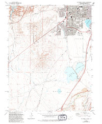
1961 Map of Southwest Pueblo
USGS Topo · Published 1994About this map
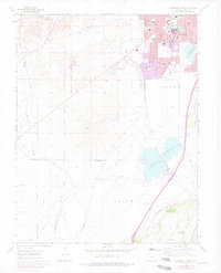
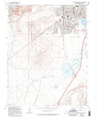
Residential expansion and institutional growth define the southwestern reaches of Pueblo in this mid-century look at Colorado’s industrial hub. The city's edge meets the plains at Lake Minnequa, where neighborhoods like Beulah Heights and South Park sit adjacent to a high density of educational sites, including South High Sch and Sangre de Cristo Sch. This landscape is marked by the transition from urban grid to rural terrain, with the Grant Boundary cutting through the western section toward Boggs Flat. In the south, the reliance on water infrastructure is evident through the massive St Charles Reservoir No 3 and the Aqueduct system, while the presence of an Old Railroad Grade and numerous Quarries along the St Charles River points to the area's ongoing material and transport needs.
Find a feature on this map
47 named features on this map. Tap any name to fly to it.
Don’t see what you’re looking for? This feature index may not catch every label — zoom into the map to look around manually.
Map Details
Editions of this 1961 Southwest Pueblo Map
7 editions found
Other maps of this area

1891 · Pueblo
USGS Topo · 1:125,000

1894 · Pueblo
USGS Topo · 1:125,000

1896 · Pueblo
USGS Topo · 1:125,000

1897 · Pueblo
USGS Topo · 1:125,000

1954 · Pueblo
USGS Topo · 1:250,000

1957 · Pueblo
USGS Topo · 1:250,000

1958 · Pueblo
USGS Topo · 1:250,000

1960 · Southeast Pueblo
USGS Topo · 1:24,000

1961 · Northwest Pueblo
USGS Topo · 1:24,000

1961 · Southwest Pueblo
USGS Topo · 1:24,000