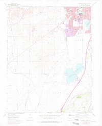
1961 Map of Southwest Pueblo
USGS Topo · Published 1977About this map
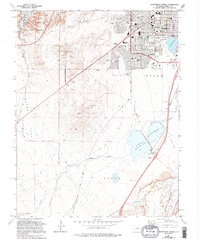
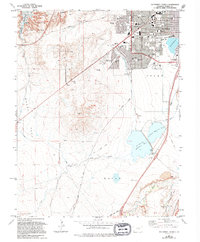
The State Fairgrounds and the expanding southern suburbs of Pueblo anchor this topographical study, which illustrates the transition from urban grit to the arid landscapes of Nolan. Purple overlays from the 1970s revisions trace the outward growth of residential areas like Beulah Heights and the development surrounding schools such as South High Sch and Highland Park Sch. Beyond the city limits, the land is defined by a complex water management system, including the Arkansas Valley Conduit and the tiered basins of Lake Minnequa, St Charles Reservoir No 2, and St Charles Reservoir No 3.
Find a feature on this map
33 named features on this map. Tap any name to fly to it.
Don’t see what you’re looking for? This feature index may not catch every label — zoom into the map to look around manually.
Map Details
Editions of this 1961 Southwest Pueblo Map
7 editions found
Other maps of this area

1891 · Pueblo
USGS Topo · 1:125,000

1894 · Pueblo
USGS Topo · 1:125,000

1896 · Pueblo
USGS Topo · 1:125,000

1897 · Pueblo
USGS Topo · 1:125,000

1954 · Pueblo
USGS Topo · 1:250,000

1957 · Pueblo
USGS Topo · 1:250,000

1958 · Pueblo
USGS Topo · 1:250,000

1960 · Southeast Pueblo
USGS Topo · 1:24,000

1961 · Northwest Pueblo
USGS Topo · 1:24,000

1961 · Southwest Pueblo
USGS Topo · 1:24,000