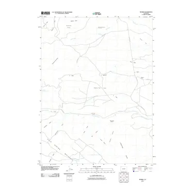
2010 Map of Sparks
USGS Topo · Published 2010About this map
Sparks and Elk Ranch anchor this high-desert landscape in northwestern Colorado, where water rights and drainage patterns define human presence. The topography is dominated by the massive rise of Cold Spring Mountain to the southwest and Limestone Ridge to the southeast, channeling runoff through complex draws like Hanging Tree Draw and Fonce Wash. This 2010 survey illustrates the transition from traditional livestock operations at Sugarloaf Camp to specialized land uses, including the curious Airborne Anomalous Area 57-10 near Fisher Creek. Water management is evident in the scattered catchments of Arthurs Reservoir and Fish Reservoirs, crucial resources in an area where ephemeral streams like Talamantes Creek carve through unique landforms such as Harry Holy Bottom and Diamond Field.
Find a feature on this map
36 named features on this map. Tap any name to fly to it.
Don’t see what you’re looking for? This feature index may not catch every label — zoom into the map to look around manually.
Map Details
Editions of this 2010 Sparks Map
This is the sole edition of this map. No revisions or reprints were ever made.
Other maps of this area

1954 · Lodore School
USGS Topo · 1:24,000

1954 · Vernal
USGS Topo · 1:250,000

1954 · Rock Springs
USGS Topo · 1:250,000

1958 · Vernal
USGS Topo · 1:250,000

1958 · Rock Springs
USGS Topo · 1:250,000

1960 · Vernal
USGS Topo · 1:250,000

1962 · Rock Springs
USGS Topo · 1:250,000

1963 · Four J Rim
USGS Topo · 1:24,000

1963 · Scrivner Butte
USGS Topo · 1:24,000

1966 · Sugarloaf Butte
USGS Topo · 1:24,000