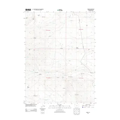
2013 Map of Sparks
USGS Topo · Published 2013About this map
Sparks serves as the focal point of this high-plateau landscape in northwestern Colorado, where remote ranching outposts and ephemeral water sources define the human geography. The map illustrates a network of isolated homesteads and camps, including Elk Ranch, Station Ranch, and Sugarloaf Camp, scattered among the drainages of Talamantes Creek and Fisher Creek. The topography is dominated by dramatic elevation changes, notably the rise of Cold Spring Mountain and the prominent Limestone Ridge to the south.
Find a feature on this map
39 named features on this map. Tap any name to fly to it.
Don’t see what you’re looking for? This feature index may not catch every label — zoom into the map to look around manually.
Map Details
Editions of this 2013 Sparks Map
This is the sole edition of this map. No revisions or reprints were ever made.
Other maps of this area

1954 · Lodore School
USGS Topo · 1:24,000

1954 · Vernal
USGS Topo · 1:250,000

1954 · Rock Springs
USGS Topo · 1:250,000

1958 · Vernal
USGS Topo · 1:250,000

1958 · Rock Springs
USGS Topo · 1:250,000

1960 · Vernal
USGS Topo · 1:250,000

1962 · Rock Springs
USGS Topo · 1:250,000

1963 · Four J Rim
USGS Topo · 1:24,000

1963 · Scrivner Butte
USGS Topo · 1:24,000

1966 · Sugarloaf Butte
USGS Topo · 1:24,000