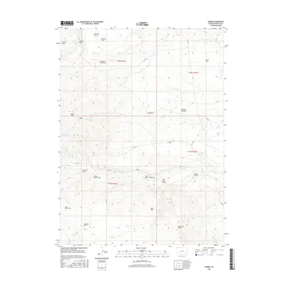
2016 Map of Sparks
USGS Topo · Published 2016About this map
Sparks serves as the central reference point in this corner of Moffat County, situated in a high-elevation landscape defined by deep draws and broad flats. Water management is a critical feature of the terrain, visible in the Fish Reservoirs and Arthur's Reservoir, alongside natural sources like Coyote Spring. The topographic layout reveals a sophisticated system of canyons and gulches, including Antone Canyon, Buck Draw, and the curiously named Harry Holy Bottom.
Find a feature on this map
38 named features on this map. Tap any name to fly to it.
Don’t see what you’re looking for? This feature index may not catch every label — zoom into the map to look around manually.
Map Details
Editions of this 2016 Sparks Map
This is the sole edition of this map. No revisions or reprints were ever made.
Other maps of this area

1954 · Lodore School
USGS Topo · 1:24,000

1954 · Vernal
USGS Topo · 1:250,000

1954 · Rock Springs
USGS Topo · 1:250,000

1958 · Vernal
USGS Topo · 1:250,000

1958 · Rock Springs
USGS Topo · 1:250,000

1960 · Vernal
USGS Topo · 1:250,000

1962 · Rock Springs
USGS Topo · 1:250,000

1963 · Four J Rim
USGS Topo · 1:24,000

1963 · Scrivner Butte
USGS Topo · 1:24,000

1966 · Sugarloaf Butte
USGS Topo · 1:24,000