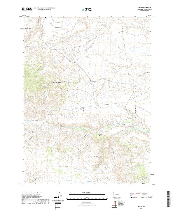
2022 Map of Sparks
USGS Topo · Published 2022About this map
Cold Spring Mtn and Limestone Ridge define the elevation changes of this high-desert landscape in northwestern Colorado. The terrain is deeply incised by complex drainage systems such as Hanging Tree Draw, Whiskey Draw, and Antone Canyon, revealing a landscape shaped by seasonal water movement. High-altitude meadows and flats, including Johnson Flats and G Meadows, suggest traditional grazing grounds in a region where water sources are vital. Mapping of specific points like Coyote Spring, Swede Spring, and the Fish Reservoirs highlights the critical infrastructure required for survival and agriculture in this arid environment. The inclusion of family-named or colloquially named sites such as Harry Holy Bottom and Arthurs Reservoir provides a window into the local ranching heritage and the individuals who managed these lands.
Find a feature on this map
37 named features on this map. Tap any name to fly to it.
Don’t see what you’re looking for? This feature index may not catch every label — zoom into the map to look around manually.
Map Details
Editions of this 2022 Sparks Map
This is the sole edition of this map. No revisions or reprints were ever made.
Other maps of this area

1954 · Lodore School
USGS Topo · 1:24,000

1954 · Vernal
USGS Topo · 1:250,000

1954 · Rock Springs
USGS Topo · 1:250,000

1958 · Vernal
USGS Topo · 1:250,000

1958 · Rock Springs
USGS Topo · 1:250,000

1960 · Vernal
USGS Topo · 1:250,000

1962 · Rock Springs
USGS Topo · 1:250,000

1963 · Four J Rim
USGS Topo · 1:24,000

1963 · Scrivner Butte
USGS Topo · 1:24,000

1966 · Sugarloaf Butte
USGS Topo · 1:24,000