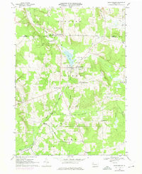
1968 Map of Spartansburg
USGS Topo · Published 1975About this map
Spartansburg serves as the primary hub of this landscape, situated at the confluence of several rural routes and the Penn Central rail line. The town's layout is centered near the waters of Clear Lake, with community life anchored by Rose Hill Cem and Our Lady of Victory Ch. The surrounding townships of Sparta, Concord, and Rome are dotted with small crossroads settlements like Concord Corners, Stranahan, and Fish Flats, each reflecting the agricultural and social patterns of the late 1960s.
Find a feature on this map
39 named features on this map. Tap any name to fly to it.
Don’t see what you’re looking for? This feature index may not catch every label — zoom into the map to look around manually.
Map Details
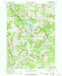
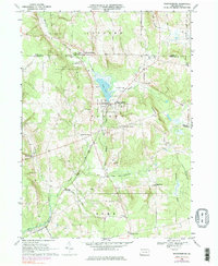
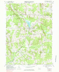
Editions of this 1968 Spartansburg Map
4 editions found
Other maps of this area

1927 · Townville
USGS Topo · 1:48,000

1927 · Titusville
USGS Topo · 1:62,500

1929 · Corry
USGS Topo · 1:48,000

1929 · Union City
USGS Topo · 1:62,500

1932 · Corry
USGS Topo · 1:62,500

1932 · Townville
USGS Topo · 1:62,500

1932 · Union City
USGS Topo · 1:62,500

1933 · Titusville
USGS Topo · 1:62,500

1945 · Townville
USGS Topo · 1:62,500

1957 · Warren
USGS Topo · 1:250,000