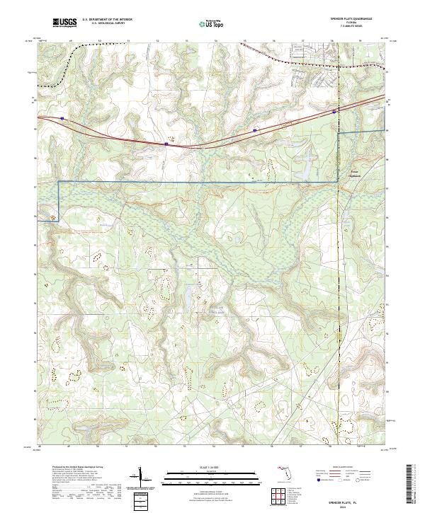
2024 Map of Spencer Flats
USGS Topo · Published 2024About this map
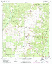
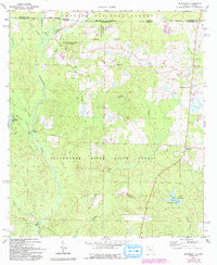
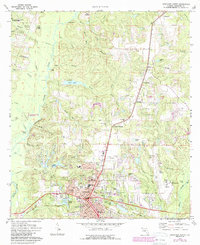
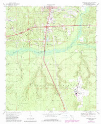
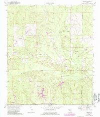
Eglin-Air Force Base occupies a significant portion of this Florida landscape, where the boundary between Okaloosa and Walton Counties divides a terrain of wetlands and training grounds. The area is defined by the broad Spencer Flats and a complex drainage network including Titi Creek, Bull Creek, and Honey Creek. To the north, the corridor along E James Lee Blvd shows modern residential development in Forest Highlands, with street names like Bobolink Way and Canary Way suggesting a planned avian-themed community layout.
Find a feature on this map
59 named features on this map. Tap any name to fly to it.
Don’t see what you’re looking for? This feature index may not catch every label — zoom into the map to look around manually.
Map Details
Editions of this 2024 Spencer Flats Map
This is the sole edition of this map. No revisions or reprints were ever made.
Historical Maps of Okaloosa County Through Time
22 maps found

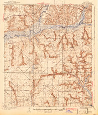
1934 Holt
Okaloosa County, FL
1937 Holt
Okaloosa County, FL
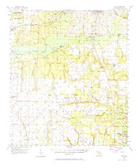
1956 Holt
Okaloosa County, FL
1970 Holt SW
Okaloosa County, FL
1973 Baker
Okaloosa County, FL
1973 Blackman
Okaloosa County, FL
1973 Crestview North
Okaloosa County, FL
1973 Crestview South
Okaloosa County, FL
1973 Dorcas
Okaloosa County, FL
1973 Holt
Okaloosa County, FL
1973 Oak Grove
Okaloosa County, FL
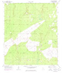
1973 Spencer Flats
Okaloosa County, FL
1994 Crestview South
Okaloosa County, FL
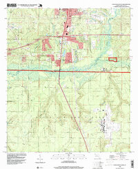
2024 Baker
Okaloosa County, FL
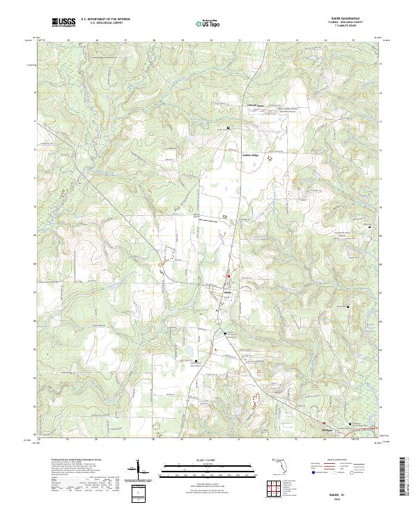
2024 Blackman
Okaloosa County, FL
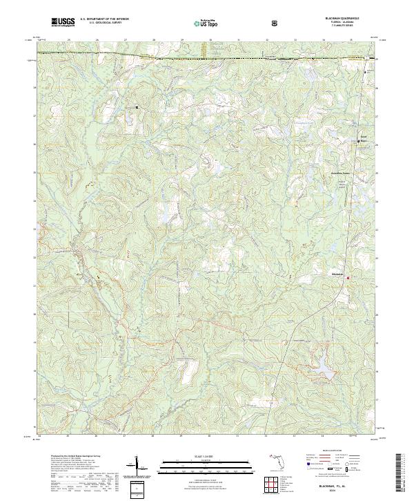
2024 Crestview North
Okaloosa County, FL
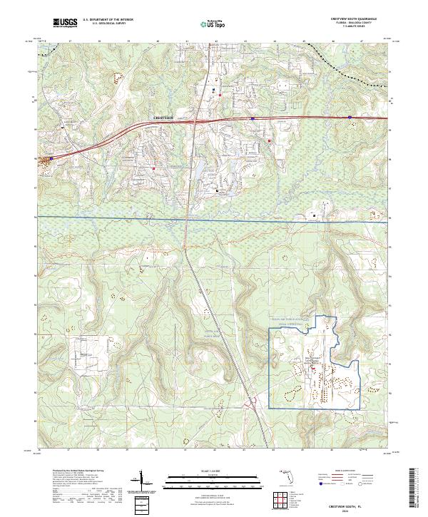
2024 Crestview South
Okaloosa County, FL
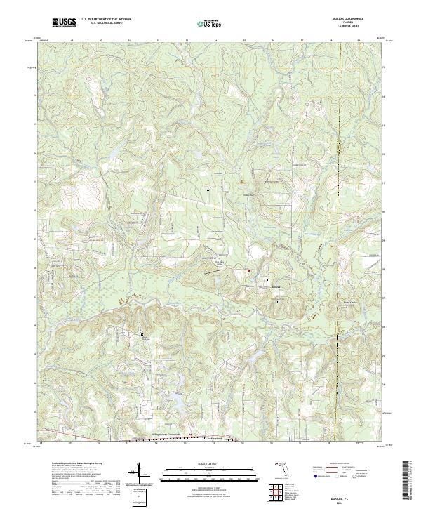
2024 Dorcas
Okaloosa County, FL
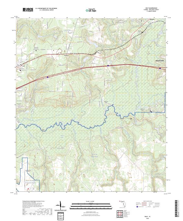
2024 Holt
Okaloosa County, FL
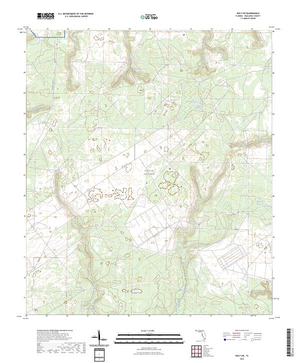
2024 Holt SW
Okaloosa County, FL
2024 Oak Grove
Okaloosa County, FL
2024 Spencer Flats
Okaloosa County, FL