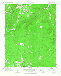
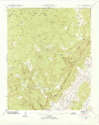
1954 Map of Spencer
USGS Topo · Published 1968About this map
Spencer serves as the focal point for this survey of the Cumberland Plateau, where high-elevation homesteads and small communities like Phiferes and Shockley are scattered across the wooded tableland. The landscape is defined by the dramatic drainage systems of Cane Creek and Falls Creek, which carve deep gulfs into the plateau. The presence of Falls Creek Falls State Park on the eastern edge highlights the area's transition towards conservation, even as active resource extraction is evidenced by a Strip Mine near Bethlehem Ch and several Coal Mine sites tucked into the hollows.
Find a feature on this map
36 named features on this map. Tap any name to fly to it.
Don’t see what you’re looking for? This feature index may not catch every label — zoom into the map to look around manually.
Map Details
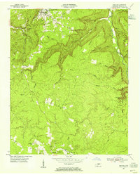
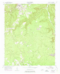
Editions of this 1954 Spencer Map
3 editions found
Other maps of this area

1892 · Pikeville
USGS Topo · 1:125,000

1893 · Mc Minnville
USGS Topo · 1:125,000

1895 · Mc Minnville
USGS Topo · 1:125,000

1895 · Pikeville
USGS Topo · 1:125,000

1935 · Brockdell
USGS Topo · 1:24,000

1935 · Smart Mountain
USGS Topo · 1:24,000

1943 · Cookeville
USGS Topo · 1:100,000

1944 · Cookeville
USGS Topo · 1:100,000
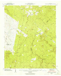
1946 · Smartt Mountain
USGS Topo · 1:24,000
1946 · Brockdell
USGS Topo · 1:24,000