Loading...
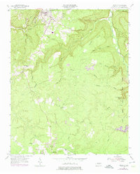
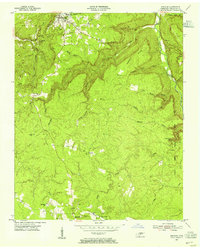
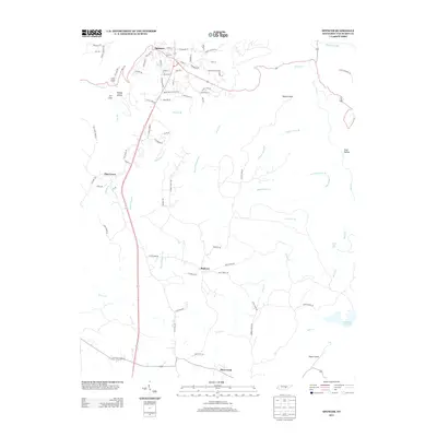
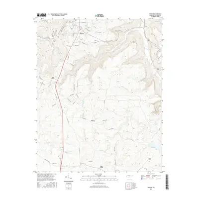
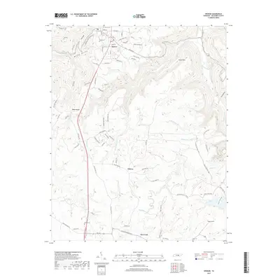
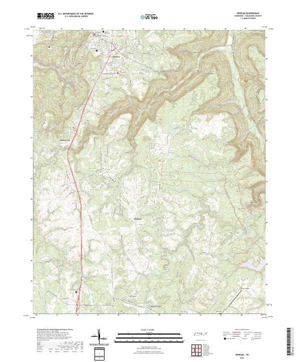
Loading map...1954 Map of Spencer
USGS Topo · Published 1975About this map
Spencer sits at the northern edge of this terrain, where the plateau surface begins its descent into the deep drainages of the Cumberland Plateau. This mid-century view, updated with mid-1970s land use, highlights a landscape transitioning from traditional upland farming and small-scale extractive industry toward conservation. Several Coal Mine sites and a Strip Mine are visible, suggesting the local reliance on coal before the expansion of protected areas.
Find a feature on this map
39 named features on this map. Tap any name to fly to it.
Don’t see what you’re looking for? This feature index may not catch every label — zoom into the map to look around manually.
Map Details
Date Portrayed1954
Date Published1975
PublisherU.S. Geological Survey
Map TypeTopographic
Scale1:24,000
Physical Dimensions22.1 x 27.4 inches
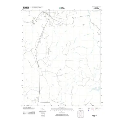
Editions of this 1954 Spencer Map
3 editions found
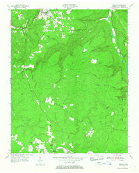
Historical Maps of Spencer Through Time
6 maps found
Featured Locations
Source Details
SourceU.S. Geological Survey
CopyrightPublic Domain