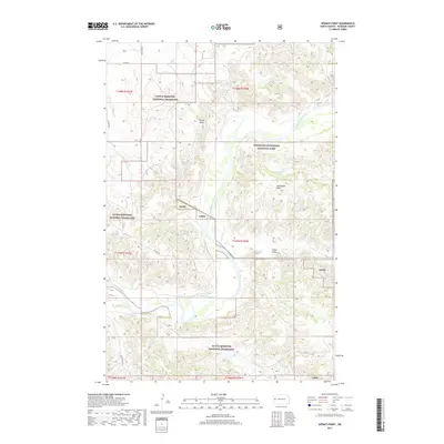
2017 Map of Sperati Point
USGS Topo · Published 2017About this map
Theodore Roosevelt National Park and the Little Missouri National Grassland dominate this McKenzie County landscape, where the Little Missouri River carves a winding path through the North Dakota badlands. The topography is defined by sharp elevation changes at Sperati Point and the Achenbach Hills, revealing the erosive power of the river's many seasonal tributaries. Several isolated water sources, including Hagan Spring, Overlook Spring, and Mandal Spring, are scattered throughout the federal lands, providing critical points of interest in an otherwise arid environment.
Find a feature on this map
27 named features on this map. Tap any name to fly to it.
Don’t see what you’re looking for? This feature index may not catch every label — zoom into the map to look around manually.
Map Details
Editions of this 2017 Sperati Point Map
This is the sole edition of this map. No revisions or reprints were ever made.
Other maps of this area

1953 · Watford City
USGS Topo · 1:250,000

1957 · Watford City
USGS Topo · 1:250,000

1958 · Long X Divide
USGS Topo · 1:24,000

1958 · Sperati Point
USGS Topo · 1:24,000

1958 · Stocke Butte
USGS Topo · 1:24,000

1958 · Tepee Buttes
USGS Topo · 1:24,000

1967 · Watford City
USGS Topo · 1:250,000

1972 · Bear Butte
USGS Topo · 1:24,000

1974 · Wolf Coulee
USGS Topo · 1:24,000

1974 · Buckskin Butte
USGS Topo · 1:24,000