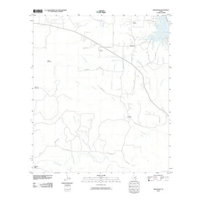
2010 Map of Spicewood
USGS Topo · Published 2010About this map
Spicewood and the surrounding Hill Country landscape are defined by the winding drainages that feed into the eastern reaches of Lake Travis. This 2010 survey shows a region where ranching heritage meets modern development, with extensive named routes like Smith Ranch Rd and Manning Ranch Rd intersecting with newer aviation-centered features such as the Fall Creek Air Ranch. The terrain rises toward distinctive peaks like Cedar Mountain and Shovel Mountain, providing a backdrop for small settlements such as Cypress Mill in the southwest corner. Local history is preserved in small family and community plots including Holloway Cemetery and Fowler Cemetery, while the hydrological network of Little Cypress Creek, Fall Creek, and Wallace Branch dictates the layout of the rural road system, connecting old thoroughfares like Old Spicewood Rd to state connectors.
Find a feature on this map
40 named features on this map. Tap any name to fly to it.
Don’t see what you’re looking for? This feature index may not catch every label — zoom into the map to look around manually.
Map Details
Editions of this 2010 Spicewood Map
This is the sole edition of this map. No revisions or reprints were ever made.
Other maps of this area

1887 · Blanco
USGS Topo · 1:125,000

1887 · Burnet
USGS Topo · 1:125,000

1893 · Burnet
USGS Topo · 1:125,000

1894 · Blanco
USGS Topo · 1:125,000

1903 · Burnet
USGS Topo · 1:125,000

1909 · Burnet
USGS Topo · 1:125,000

1925 · Burnet 3-d
USGS Topo · 1:48,000

1929 · Marble Falls
USGS Topo · 1:62,500

1930 · Blanco-1
USGS Topo · 1:48,000

1932 · Marble Falls
USGS Topo · 1:62,500