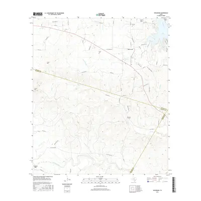
2016 Map of Spicewood
USGS Topo · Published 2016About this map
The community of Spicewood and the nearby Cypress Mill anchor this 2016 study of the Texas Hill Country, where the landscape is defined by the winding course of the Colorado River and the northern reaches of Lake Travis. The terrain rises sharply toward Cedar Mtn and Shovel Mtn, cut by a network of drainage systems including Sycamore Cr, Alligator Cr, and Little Cypress Cr. This topography has historically dictated the settlement patterns and road networks, such as Smith Ranch Rd and Paul Newmann Rd, which follow the natural contours of the ridges and valleys.
Find a feature on this map
67 named features on this map. Tap any name to fly to it.
Don’t see what you’re looking for? This feature index may not catch every label — zoom into the map to look around manually.
Map Details
Editions of this 2016 Spicewood Map
This is the sole edition of this map. No revisions or reprints were ever made.
Other maps of this area

1887 · Blanco
USGS Topo · 1:125,000

1887 · Burnet
USGS Topo · 1:125,000

1893 · Burnet
USGS Topo · 1:125,000

1894 · Blanco
USGS Topo · 1:125,000

1903 · Burnet
USGS Topo · 1:125,000

1909 · Burnet
USGS Topo · 1:125,000

1925 · Burnet 3-d
USGS Topo · 1:48,000

1929 · Marble Falls
USGS Topo · 1:62,500

1930 · Blanco-1
USGS Topo · 1:48,000

1932 · Marble Falls
USGS Topo · 1:62,500