
1961 Map of Spirit Lake East
USGS Topo · Published 1962About this map
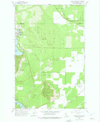
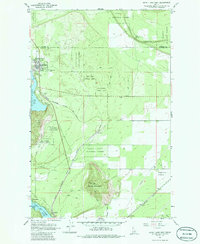
The town of Spirit Lake sits at the edge of its namesake waters, serving as a focal point for this 1960s Idaho landscape. The settlement is flanked by Lakewood and features local landmarks such as Greenwood Cem and the Water Sch. To the south, the terrain rises toward Round Mountain and the distinct grassy opening of Eightmile Prairie. The map documents a transition from the dense timber of Kaniksu National Forest and Coeur d'Alene National Forest to the shoreline developments of Twin Lakes, including Echo Beach and Twinlow. A complex transportation network is evident, dominated by the Chicago Milwaukee St Paul and Pacific and Northern Pacific railroads. Local infrastructure is further detailed through an old railroad grade, numerous gravel pits, and the rural enclave of Ramsey.
Find a feature on this map
26 named features on this map. Tap any name to fly to it.
Don’t see what you’re looking for? This feature index may not catch every label — zoom into the map to look around manually.
Map Details
Editions of this 1961 Spirit Lake East Map
3 editions found
Other maps of this area

1901 · Sandpoint
USGS Topo · 1:125,000

1903 · Rathdrum
USGS Topo · 1:125,000

1911 · Priest Lake
USGS Topo · 1:250,000

1911 · Sandpoint
USGS Topo · 1:125,000

1913 · Priest Lake
USGS Topo · 1:250,000

1955 · Spokane
USGS Topo · 1:250,000

1958 · Spokane
USGS Topo · 1:250,000

1958 · Sandpoint
USGS Topo · 1:250,000

1961 · Hayden
USGS Topo · 1:24,000

1961 · Rathdrum
USGS Topo · 1:24,000