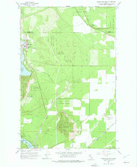
1961 Map of Spirit Lake East
USGS Topo · Published 1975About this map
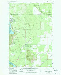
The town of Spirit Lake sits at the edge of its namesake water body, serving as a hub for this timbered region in the early 1960s. The landscape is defined by the prominent Round Mountain and Lone Mtn, surrounded by the expansive reaches of the Kaniksu National Forest and Coeur d'Alene National Forest. In the southwest, the shoreline of Twin Lakes hosts recreational settlements such as Echo Beach and Excelsior Beach, with Twinlow and Harts Island visible nearby. Heavy industry and transport are evident in the path of the Chicago Milwaukee St Paul and Pacific railroad, which cuts through the forest towards Eightmile Prairie. Local landmarks like Lakewood School and the Greenwood Cemetery provide specific points of interest for genealogists tracing the community's mid-century footprint near the Bonner and Kootenai county line.
Find a feature on this map
29 named features on this map. Tap any name to fly to it.
Don’t see what you’re looking for? This feature index may not catch every label — zoom into the map to look around manually.
Map Details
Editions of this 1961 Spirit Lake East Map
3 editions found

Other maps of this area

1901 · Sandpoint
USGS Topo · 1:125,000

1903 · Rathdrum
USGS Topo · 1:125,000

1911 · Priest Lake
USGS Topo · 1:250,000

1911 · Sandpoint
USGS Topo · 1:125,000

1913 · Priest Lake
USGS Topo · 1:250,000

1955 · Spokane
USGS Topo · 1:250,000

1958 · Spokane
USGS Topo · 1:250,000

1958 · Sandpoint
USGS Topo · 1:250,000

1961 · Hayden
USGS Topo · 1:24,000

1961 · Rathdrum
USGS Topo · 1:24,000