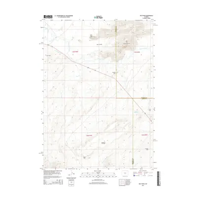
2015 Map of Split Rock
USGS Topo · Published 2015About this map
The Granite Mountains dominate this central Wyoming landscape where the Sweetwater River winds through high-altitude basin and range country. This area is defined by its massive geological formations, including the distinctive Split Rock landmark and the Great Stone Face. The map traces early water management efforts in this arid environment, marked by the Mcintosh Beaton Ditch and Speyers Reservoir. A network of creeks, such as Cottonwood Cr and Larkin Cr, flow from the higher elevations toward the river valley. The terrain is further characterized by prominent rises like Castle Rock, Henry Peak, and Cranmer Rock, alongside topographic features such as Telephone Line Ridge and the Beaton Pocket. This survey captures the rugged crossroads of Natrona, Carbon, and Fremont counties as it appeared in the early 21st century.
Find a feature on this map
25 named features on this map. Tap any name to fly to it.
Don’t see what you’re looking for? This feature index may not catch every label — zoom into the map to look around manually.
Map Details
Editions of this 2015 Split Rock Map
This is the sole edition of this map. No revisions or reprints were ever made.
Other maps of this area

1951 · Bucklin Reservoirs
USGS Topo · 1:24,000

1951 · Lone Mountain
USGS Topo · 1:24,000

1951 · Black Rock Gap
USGS Topo · 1:24,000

1951 · Split Rock
USGS Topo · 1:24,000

1951 · Split Rock NW
USGS Topo · 1:24,000

1951 · Lankin Dome
USGS Topo · 1:24,000

1955 · Casper
USGS Topo · 1:250,000

1958 · Casper
USGS Topo · 1:250,000

1962 · Casper
USGS Topo · 1:250,000

1962 · Whiskey Peak
USGS Topo · 1:24,000