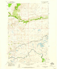
1958 Map of Split Rock Lake
USGS Topo · Published 1960About this map
An Indian Burial Ground and the rugged transition from high ridges to river bottomland define this mid-century landscape along the border of Teton and Lewis and Clark Counties. The map reveals a post-frontier ranching economy in transition, where sites like Stetler Ranch, Frazier Ranch, and Carlson Ranch are marked as abandoned, contrasted by the active Morris Ranch near the Sun River.
Find a feature on this map
27 named features on this map. Tap any name to fly to it.
Don’t see what you’re looking for? This feature index may not catch every label — zoom into the map to look around manually.
Map Details
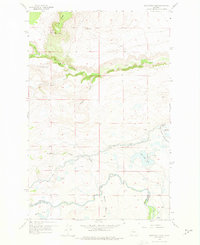
Editions of this 1958 Split Rock Lake Map
2 editions found
Other maps of this area

1903 · Saypo
USGS Topo · 1:125,000

1920 · Choteau
USGS Topo · 1:125,000

1955 · Choteau
USGS Topo · 1:250,000

1957 · Choteau
USGS Topo · 1:250,000

1958 · Choteau
USGS Topo · 1:250,000

1958 · Ear Mountain
USGS Topo · 1:24,000

1958 · Lake Theboe
USGS Topo · 1:24,000

1958 · Barr Creek
USGS Topo · 1:24,000

1958 · Sawtooth Ridge
USGS Topo · 1:24,000

1958 · Castle Reef
USGS Topo · 1:24,000