
Loading...
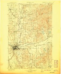
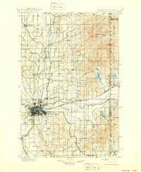
Loading map...1901 Map of Spokane
USGS Topo · Published 1901About this map
Spokane serves as the bustling hub of this turn-of-the-century landscape, a city defined by its dense rail network and proximity to Ft. Wright. This era of rapid growth is evidenced by the convergence of the Great Northern R. R., Northern Pacific R. R., and the Spokane Falls and Northern R. R., all weaving through the valley. The map details established neighborhoods like Lidgerwood and Hillyard, alongside surrounding agrarian expanses such as Peone Prairie and Fivemile Prairie.
Find a feature on this map
62 named features on this map. Tap any name to fly to it.
Don’t see what you’re looking for? This feature index may not catch every label — zoom into the map to look around manually.
Map Details
Date Portrayed1901
Date Published1901
PublisherU.S. Geological Survey
Map TypeTopographic
Scale1:125000
Physical Dimensions16.52 x 19.94 inches
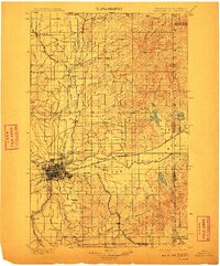
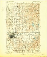
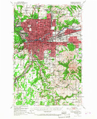
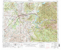
Editions of this 1901 Spokane Map
6 editions found
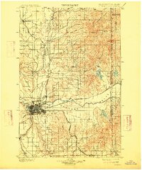
Historical Maps of Spokane County Through Time
5 maps found


Featured Locations
Source Details
SourceU.S. Geological Survey
CopyrightPublic Domain