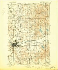
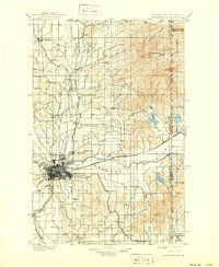
1901 Map of Spokane
USGS Topo · Published 1929About this map
Spokane serves as the industrial heart of this landscape at the dawn of the 20th century, where a complex network of railroads like the Spokane Falls and Northern and Great Northern converge along the Spokane River. The city's footprint is dense with the burgeoning neighborhoods of Hillyard and Lidgerwood, while the surrounding terrain is defined by elevated plateaus including Fivemile Prairie and Peone Prairie. To the west, the military presence of Fort Wright overlooks the river's bends, anchoring the region's strategic importance during this era of western expansion.
Find a feature on this map
66 named features on this map. Tap any name to fly to it.
Don’t see what you’re looking for? This feature index may not catch every label — zoom into the map to look around manually.
Map Details
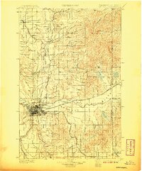
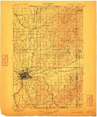
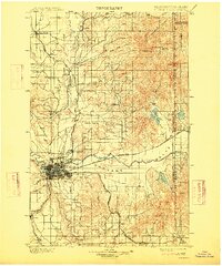
Editions of this 1901 Spokane Map
6 editions found
Other maps of this area

1901 · Sandpoint
USGS Topo · 1:125,000

1901 · Spokane
USGS Topo · 1:125,000

1903 · Oakesdale
USGS Topo · 1:125,000

1903 · Rathdrum
USGS Topo · 1:125,000

1905 · Oakesdale
USGS Topo · 1:125,000

1911 · Priest Lake
USGS Topo · 1:250,000

1911 · Sandpoint
USGS Topo · 1:125,000

1913 · Priest Lake
USGS Topo · 1:250,000

1927 · Chewelah
USGS Topo · 1:125,000

1930 · Chewelah
USGS Topo · 1:125,000