
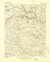
1892 Map of Spottsylvania
USGS Topo · Published 1892About this map
The Rapidan River and Rappahannock River carve through this central Virginia landscape, defining a region where industry and historical transit routes converged in the late 19th century. Surveyed just decades after the Civil War, the map reveals a countryside still anchored by crossroad landmarks like Wilderness Tavern and Todds Tavern, alongside the scarred terrain of the Vaucluse Gold Mine and White Hall Gold Mine.
Find a feature on this map
90 named features on this map. Tap any name to fly to it.
Don’t see what you’re looking for? This feature index may not catch every label — zoom into the map to look around manually.
Map Details
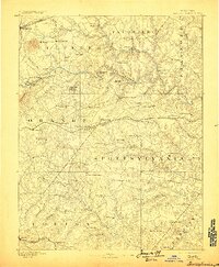
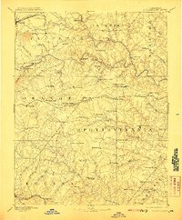
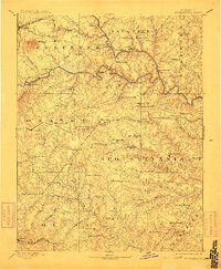
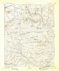
Editions of this 1892 Spottsylvania Map
6 editions found
Other maps of this area

1887 · Spottsylvania
USGS Topo · 1:125,000

1889 · Fredericksburg
USGS Topo · 1:125,000

1890 · Goochland
USGS Topo · 1:125,000

1890 · Mt. Vernon
USGS Topo · 1:125,000

1891 · Palmyra
USGS Topo · 1:125,000

1891 · Mt. Vernon
USGS Topo · 1:125,000

1892 · Fredericksburg
USGS Topo · 1:125,000

1892 · Goochland
USGS Topo · 1:125,000

1892 · Gordonsville
USGS Topo · 1:125,000

1893 · Luray
USGS Topo · 1:125,000