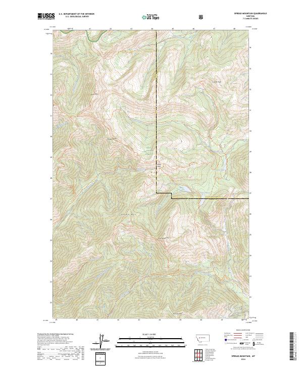
2024 Map of Spread Mountain
USGS Topo · Published 2024About this map
Spread Mountain and East Spread Mountain anchor the central topography of this remote landscape, where the high ridges of the Lolo National Forest meet the protected expanses of the Bob Marshall Wilderness and Scapegoat Wilderness. The area is defined by a dense network of mountain trails and glacial lakes, including Lake Otatsy and Canyon Lake, which serve as vital landmarks in the roadless backcountry. A complex drainage system feeds the Continental Divide's western slopes, with Dwight Creek, McCabe Creek, and Spread Creek carving deep valleys between prominent peaks like Omar Mountain and McCabe Mountain. This survey illustrates the intricate relationship between high-altitude topography and the trail systems that provide the only access through these wilderness boundaries, such as the Canyon Lake Trail and Fenn Mountain Trail.
Find a feature on this map
48 named features on this map. Tap any name to fly to it.
Don’t see what you’re looking for? This feature index may not catch every label — zoom into the map to look around manually.
Map Details
Editions of this 2024 Spread Mountain Map
This is the sole edition of this map. No revisions or reprints were ever made.
Other maps of this area

1902 · Ovando
USGS Topo · 1:125,000

1903 · Coopers Lake
USGS Topo · 1:125,000

1905 · Ovando
USGS Topo · 1:125,000

1955 · Choteau
USGS Topo · 1:250,000

1957 · Choteau
USGS Topo · 1:250,000

1958 · Choteau
USGS Topo · 1:250,000

1962 · Choteau
USGS Topo · 1:250,000

1968 · Spread Mountain
USGS Topo · 1:24,000

1968 · Dunham Point
USGS Topo · 1:24,000
1968 · Coopers Lake
USGS Topo · 1:24,000