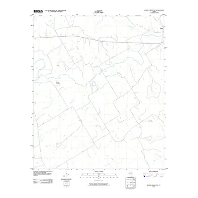
2010 Map of Spring Creek Gap
USGS Topo · Published 2010About this map
The North Bosque River winds through this central Texas landscape, anchoring a rural territory defined by its watercourses and early family settlements. In the northeastern corner, the town of Iredell sits near the junction of major county roads and the river, while the surrounding countryside is dotted with historical markers of long-standing local families. Genealogists can identify the locations of the Barbee Cemetery in the northwest and the Proffitt Cemetery further south, providing specific geographical points for family history research. The terrain is marked by the eponymous Spring Creek Gap and a network of drainages including Duffau Creek, Honey Creek, and Fall Creek. Human modification of the watershed is evidenced by Fillingim Lake Dam, which interrupts the natural flow north of the Bailey Branch tributary. This survey captures the region as a stable ranching and agricultural district, crisscrossed by a detailed grid of county roads like Co RD 234 and Co RD 233.
Find a feature on this map
32 named features on this map. Tap any name to fly to it.
Don’t see what you’re looking for? This feature index may not catch every label — zoom into the map to look around manually.
Map Details
Editions of this 2010 Spring Creek Gap Map
This is the sole edition of this map. No revisions or reprints were ever made.
Other maps of this area

1888 · Hamilton
USGS Topo · 1:125,000

1888 · Meridian
USGS Topo · 1:125,000

1889 · Granbury
USGS Topo · 1:125,000

1890 · Stephenville
USGS Topo · 1:125,000

1894 · Hamilton
USGS Topo · 1:125,000

1894 · Meridian
USGS Topo · 1:125,000

1920 · Stephenville
USGS Topo · 1:125,000

1954 · Brownwood
USGS Topo · 1:250,000

1954 · Dallas
USGS Topo · 1:250,000

1954 · Waco
USGS Topo · 1:250,000