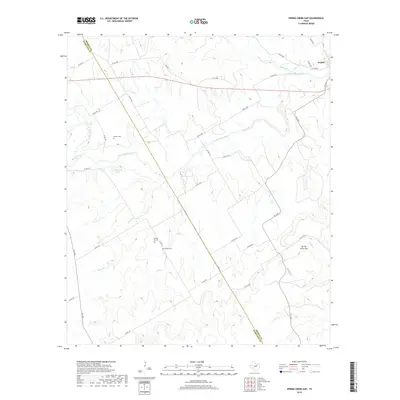
2019 Map of Spring Creek Gap
USGS Topo · Published 2019About this map
The North Bosque River flows through the center of this rural landscape along the boundary of Bosque and Hamilton Counties. In the northeast corner, the settlement of Iredell serves as the primary hub, where Duffau Cr joins the larger river system. The terrain is defined by the significant topographic break at Spring Creek Gap, where the elevation shifts toward the watershed of Spring Cr.
Find a feature on this map
39 named features on this map. Tap any name to fly to it.
Don’t see what you’re looking for? This feature index may not catch every label — zoom into the map to look around manually.
Map Details
Editions of this 2019 Spring Creek Gap Map
This is the sole edition of this map. No revisions or reprints were ever made.
Other maps of this area

1888 · Hamilton
USGS Topo · 1:125,000

1888 · Meridian
USGS Topo · 1:125,000

1889 · Granbury
USGS Topo · 1:125,000

1890 · Stephenville
USGS Topo · 1:125,000

1894 · Hamilton
USGS Topo · 1:125,000

1894 · Meridian
USGS Topo · 1:125,000

1920 · Stephenville
USGS Topo · 1:125,000

1954 · Brownwood
USGS Topo · 1:250,000

1954 · Dallas
USGS Topo · 1:250,000

1954 · Waco
USGS Topo · 1:250,000