
1916 Map of Spring
USGS Topo · Published 1916About this map
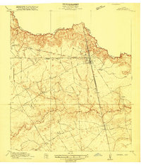
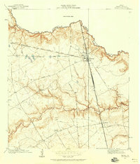
Spring Creek forms a prominent natural boundary between Montgomery and Harris counties, anchoring a landscape defined by its riparian corridors and early twentieth-century rail development. The junction at Spring serves as a critical nexus where the International and Great Northern and Galveston Houston and Henderson railroads converge. This transit infrastructure supported early settlements like Westfield and Bammel, which appear here before the suburban expansion of the Houston area.
Find a feature on this map
29 named features on this map. Tap any name to fly to it.
Don’t see what you’re looking for? This feature index may not catch every label — zoom into the map to look around manually.
Map Details
Editions of this 1916 Spring Map
3 editions found
Other maps of this area

1916 · Aldine
USGS Topo · 1:24,000

1916 · Louetta
USGS Topo · 1:24,000

1916 · Satsuma
USGS Topo · 1:24,000

1916 · Humble
USGS Topo · 1:24,000

1919 · Aldine
USGS Topo · 1:31,680

1919 · Humble
USGS Topo · 1:31,680

1919 · Weeden
USGS Topo · 1:31,680

1920 · Spring
USGS Topo · 1:31,680

1920 · Louetta
USGS Topo · 1:31,680
1920 · Satsuma
USGS Topo · 1:31,680