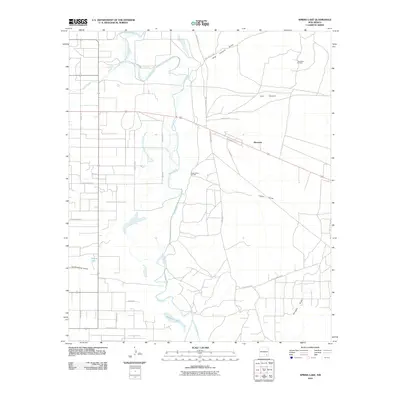
2010 Map of Spring Lake
USGS Topo · Published 2010About this map
The Pecos River carves a winding path through this Eddy County landscape, defining the character of a region where agriculture and energy extraction coexist. The settlement of Riverside serves as a local landmark near the junction of major roads like Chalk Bluff Rd and Arrowhead Rd. This 2010 survey highlights the prominence of the petroleum industry in the High Plains, notably at the Daugherty Oil Field and Logan Draw Oil Field.
Find a feature on this map
30 named features on this map. Tap any name to fly to it.
Don’t see what you’re looking for? This feature index may not catch every label — zoom into the map to look around manually.
Map Details
Editions of this 2010 Spring Lake Map
This is the sole edition of this map. No revisions or reprints were ever made.
Other maps of this area

1943 · Oil City
USGS Topo · 1:62,500

1951 · Diamond Mound
USGS Topo · 1:24,000

1953 · Espuela
USGS Topo · 1:24,000

1954 · Carlsbad
USGS Topo · 1:250,000

1955 · Artesia
USGS Topo · 1:24,000

1955 · Artesia NE
USGS Topo · 1:24,000

1955 · Spring Lake
USGS Topo · 1:24,000

1955 · Dayton
USGS Topo · 1:24,000

1955 · Lake Mc Millan North
USGS Topo · 1:24,000

1955 · Red Lake
USGS Topo · 1:24,000