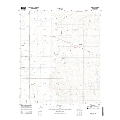
2013 Map of Spring Lake
USGS Topo · Published 2013About this map
The Pecos River meanders through this portion of Eddy County, defining a landscape shaped by both hydrology and the petroleum industry. To the west, the outskirts of Artesia and the community of Atoka sit atop the relatively flat terrain, while the settlement of Riverside is positioned further east. The map captures the significant industrial footprint of the region's energy resources, including the Logan Draw Oil Field, Daugherty Oil Field, and Empire Oil Field.
Find a feature on this map
53 named features on this map. Tap any name to fly to it.
Don’t see what you’re looking for? This feature index may not catch every label — zoom into the map to look around manually.
Map Details
Editions of this 2013 Spring Lake Map
This is the sole edition of this map. No revisions or reprints were ever made.
Other maps of this area

1943 · Oil City
USGS Topo · 1:62,500

1951 · Diamond Mound
USGS Topo · 1:24,000

1953 · Espuela
USGS Topo · 1:24,000

1954 · Carlsbad
USGS Topo · 1:250,000

1955 · Artesia
USGS Topo · 1:24,000

1955 · Artesia NE
USGS Topo · 1:24,000

1955 · Spring Lake
USGS Topo · 1:24,000

1955 · Dayton
USGS Topo · 1:24,000

1955 · Lake Mc Millan North
USGS Topo · 1:24,000

1955 · Red Lake
USGS Topo · 1:24,000