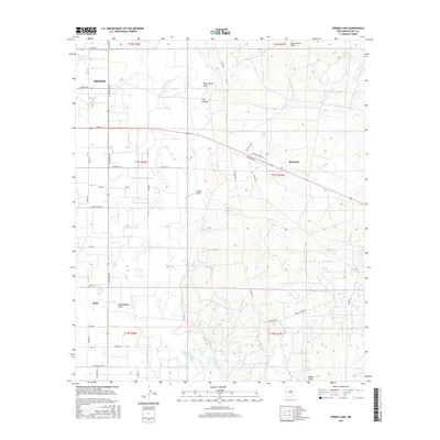
2017 Map of Spring Lake
USGS Topo · Published 2017About this map
The Pecos River carves a central path through this Eddy County landscape, where the agricultural and residential outskirts of Artesia meet the arid terrain of the Chihuahuan Desert. This survey shows a sophisticated network of county roads and local avenues, including E Main St and S Haldeman Rd, that service the scattered rural communities of Riverside and Atoka. The geography is defined by a series of ephemeral watercourses and canyons, such as Hart Canyon, Dog Canyon Draw, and Logan Draw, which lead toward the river valley. Hydrological features like Brainard Lake and Spring Lake dot the western half of the map, providing essential water points in a region where the land rises toward the higher elevations of Chalk Bluff Rd and Little Diamond Rd.
Find a feature on this map
46 named features on this map. Tap any name to fly to it.
Don’t see what you’re looking for? This feature index may not catch every label — zoom into the map to look around manually.
Map Details
Editions of this 2017 Spring Lake Map
This is the sole edition of this map. No revisions or reprints were ever made.
Other maps of this area

1943 · Oil City
USGS Topo · 1:62,500

1951 · Diamond Mound
USGS Topo · 1:24,000

1953 · Espuela
USGS Topo · 1:24,000

1954 · Carlsbad
USGS Topo · 1:250,000

1955 · Artesia
USGS Topo · 1:24,000

1955 · Artesia NE
USGS Topo · 1:24,000

1955 · Spring Lake
USGS Topo · 1:24,000

1955 · Dayton
USGS Topo · 1:24,000

1955 · Lake Mc Millan North
USGS Topo · 1:24,000

1955 · Red Lake
USGS Topo · 1:24,000