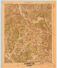
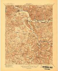
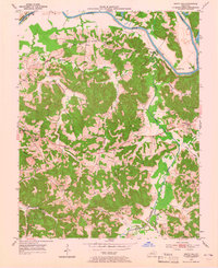
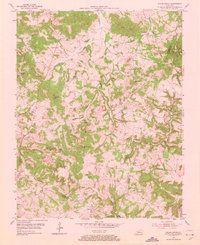
1925 Map of Spring Lick
USGS Topo · Published 1925This historical map portrays the area of Spring Lick in 1925, primarily covering Butler County as well as portions of Grayson County and Ohio County. Featuring a scale of 1:62500, this map provides a highly detailed snapshot of the terrain, roads, buildings, counties, and historical landmarks in the Spring Lick region at the time. Published in 1925, it is one of 2 known editions of this map due to revisions or reprints.
Find a feature on this map
89 named features on this map. Tap any name to fly to it.
Don’t see what you’re looking for? This feature index may not catch every label — zoom into the map to look around manually.
Map Details
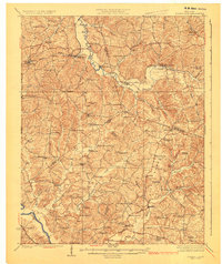
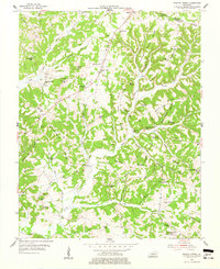
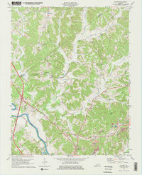
Editions of this 1925 Spring Lick Map
2 editions found
Historical Maps of Arnold Through Time
11 maps found
1914 Little Muddy
Butler County, KY
1925 Spring Lick
Butler County, KY
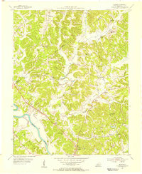
1953 Quality
Butler County, KY
1953 South Hill
Butler County, KY
1954 Flener
Butler County, KY
1954 Reedyville
Butler County, KY
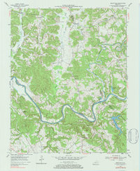
1954 Riverside
Butler County, KY
1954 Sugar Grove
Butler County, KY
1954 Welchs Creek
Butler County, KY
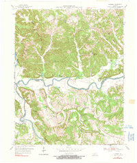
1973 Flener
Butler County, KY
1973 Sugar Grove
Butler County, KY