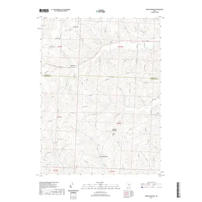
2019 Map of Spring Mountain
USGS Topo · Published 2019About this map
Fort Fizzle and French Ridge define the northern highlands of this terrain, where the boundary between Holmes and Coshocton counties cuts through the central landscape. The area is characterized by a dense distribution of family and community burial grounds, such as Union Grove Cem, Wolf Creek Cem, and Harmony Cem, suggesting a long-established rural population. Small settlements like Stillwell and Spring Mountain serve as anchor points along a network of county roads, while the southern reaches near New Princeton are shaped by the flow of Beaver Run and Darling Run. The topography is intricately carved by numerous drainages, including Wolf Cr and Hoagland Run, which dictate the winding paths of the township roads and the placement of farms across the ridges.
Find a feature on this map
84 named features on this map. Tap any name to fly to it.
Don’t see what you’re looking for? This feature index may not catch every label — zoom into the map to look around manually.
Map Details
Editions of this 2019 Spring Mountain Map
This is the sole edition of this map. No revisions or reprints were ever made.
Other maps of this area

1912 · Loudonville
USGS Topo · 1:62,500

1913 · Brinkhaven
USGS Topo · 1:62,500

1913 · Coshocton
USGS Topo · 1:62,500

1914 · Loudonville
USGS Topo · 1:62,500

1915 · Brinkhaven
USGS Topo · 1:62,500

1915 · Millersburg
USGS Topo · 1:62,500

1915 · Coshocton
USGS Topo · 1:62,500

1943 · Millersburg
USGS Topo · 1:62,500

1943 · Coshocton
USGS Topo · 1:62,500

1943 · Loudonville
USGS Topo · 1:62,500