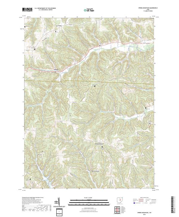
2023 Map of Spring Mountain
USGS Topo · Published 2023About this map
Spring Mountain and the surrounding borderlands of Holmes and Coshocton counties are defined by a complex network of narrow creek valleys and ridgelines. The settlement pattern remains largely rural, centered on small crossroads and family names that persist through numerous burial grounds. From the northern reaches of Fort Fizzle down to New Princeton, the landscape is threaded with runs and creeks including Wolf Creek and Hoagland Run.
Find a feature on this map
83 named features on this map. Tap any name to fly to it.
Don’t see what you’re looking for? This feature index may not catch every label — zoom into the map to look around manually.
Map Details
Editions of this 2023 Spring Mountain Map
This is the sole edition of this map. No revisions or reprints were ever made.
Other maps of this area

1912 · Loudonville
USGS Topo · 1:62,500

1913 · Brinkhaven
USGS Topo · 1:62,500

1913 · Coshocton
USGS Topo · 1:62,500

1914 · Loudonville
USGS Topo · 1:62,500

1915 · Brinkhaven
USGS Topo · 1:62,500

1915 · Millersburg
USGS Topo · 1:62,500

1915 · Coshocton
USGS Topo · 1:62,500

1943 · Millersburg
USGS Topo · 1:62,500

1943 · Coshocton
USGS Topo · 1:62,500

1943 · Loudonville
USGS Topo · 1:62,500